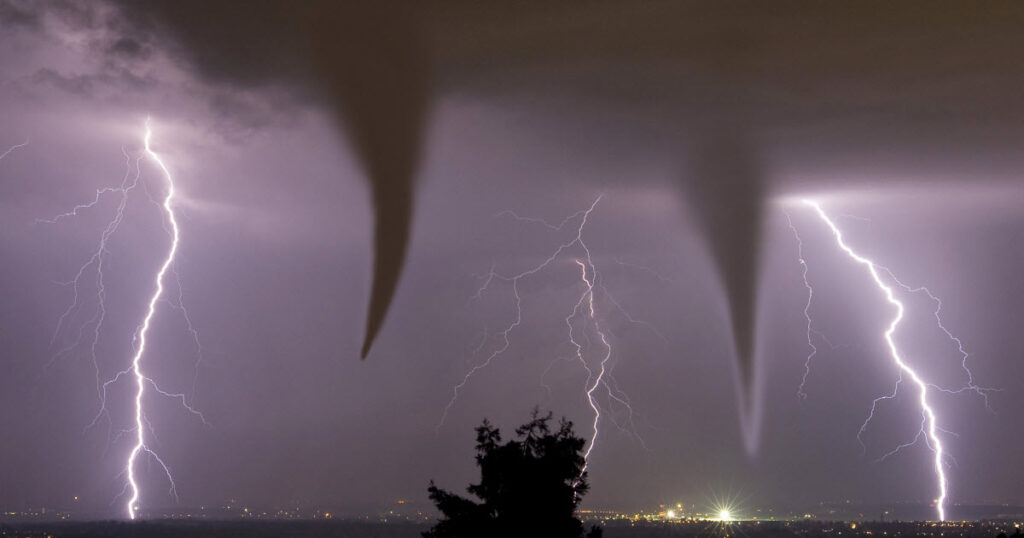
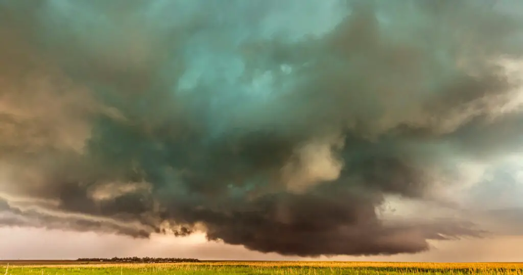
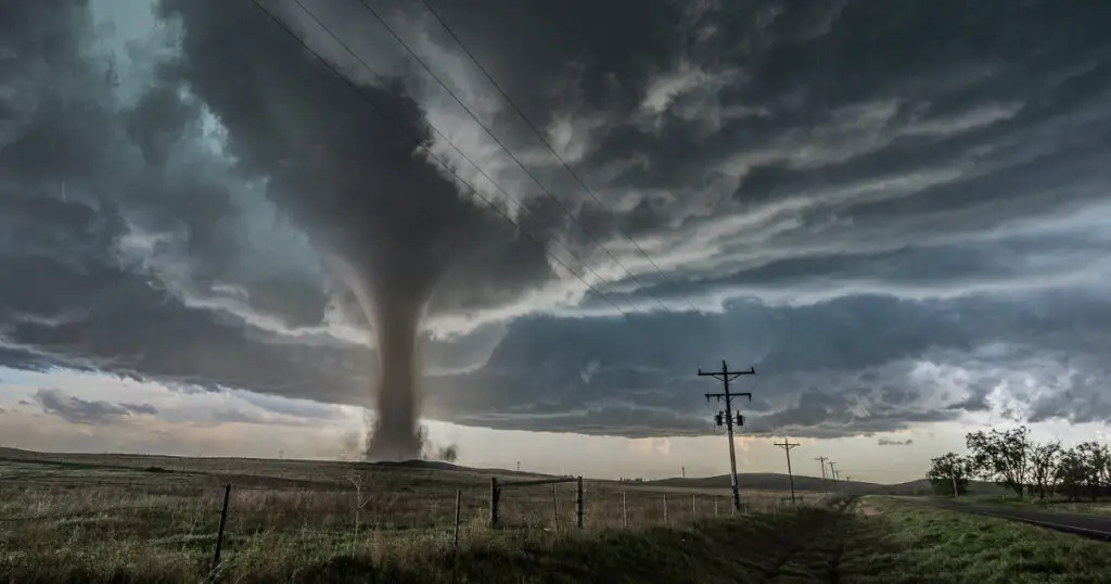
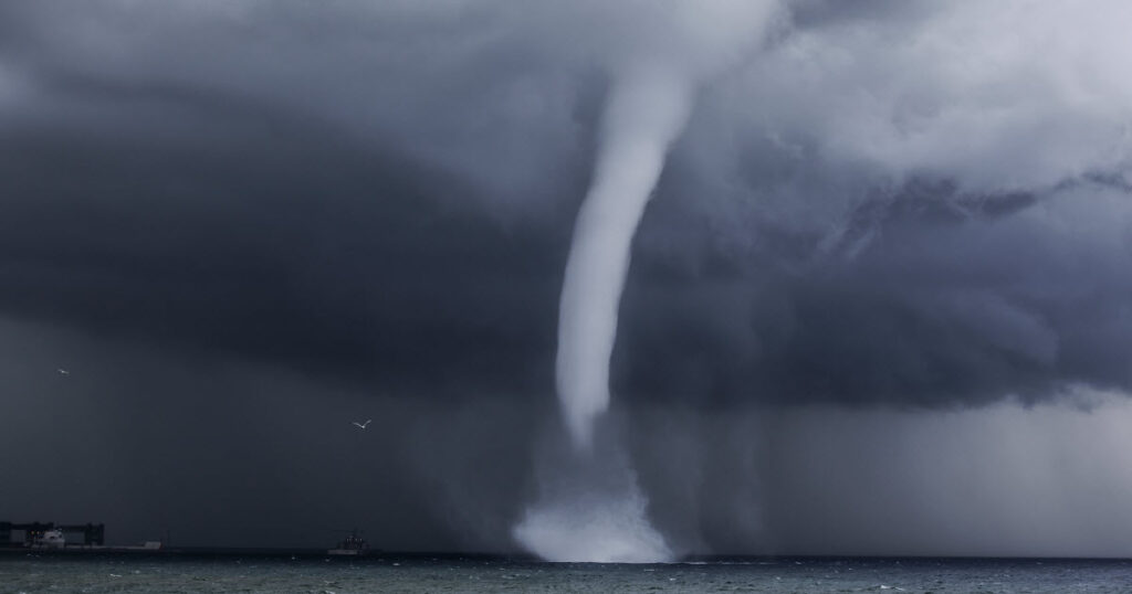
A multi-vortex tornado or multiple-vortex tornado is, as the name suggests, a tornado that consists of several vortices revolving around a principal vortex. These are known as subvortices or suction vortices. Here’s a guide to the science behind multi-vortex tornadoes, how they form and sustain themselves, and what exactly causes them.
Multi-vortex tornadoes are some of the most destructive natural forces known to man. By acting in unison, they can wipe out entire neighbourhoods and cause billions of dollars of damage.
Multi-vortex tornadoes are not very rare. In fact, most tornadoes have smaller vortices rotating inside the main funnel. However, because of dust and debris blowing around during storms, these smaller vortices are not usually visible.
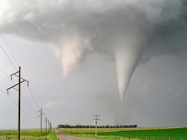
Sometimes, you can see clear divisions between the different vortices, making for an incredible and fearsome sight.
The Science of Multi-Vortex Tornadoes
In order to get to grips with the science behind multi-vortex tornadoes, it’s useful to first look at what causes regular, single-vortex tornadoes.
Tornado Formation
Tornadoes are turbulent funnels of air that move rapidly while maintaining contact with the Earth’s surface. They contain compressed water vapors known as a cumulonimbus cloud.
Tornadoes originate form violent winds moving in different directions and at different speeds. These opposing high-speed winds form a spinning motion within the storm cell. The spinning air rushes up to meet the descending air and this is what forms that classic, funnel shaped cloud you see during a tornado.
Usually, these winds combine in climates where warm, humid air mixes with cool, dry air. When these different winds meet, it results in an unstable atmosphere that sends the winds into further frenzy.
Tornadoes can be hugely destructive and their speed ranges from 110mph to 300mph. They can last for up to 4 hours and, in extreme cases, exceed 75 feet in height.
Multi-Vortex Formation
Fujita, the meteorologist who created the Fujita Scale to assess the strength of a tornado (F0 – F5), studied the Tornado Outbreak of April 11-12, 1965. This was the first official study of a regional tornado outbreak in history. It was in this study that the idea of the “multiple-vortex tornado” was first put forward.
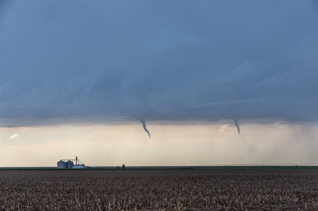
Fujita thought that within the most violent tornadoes, there were a number of smaller vortices. He claimed that these multi-vortex tornadoes contained the highest wind speeds (more than 300 miles an hour). Air rotates rapidly within these smaller vortices, which in turn rotate themselves around the axis of the main tornado.
Multiple-vortices extend all the way along the part of the twister that connects with the clouds. Extreme instabilities in atmospheric heat and moisture cause violent winds that create multi-vortex tornadoes.
How are Tornadoes Measured?
The Enhanced Fujita Scale (EFS) measures the strength of a tornado, whether multi-vortex or single-vortex. A number from 0 to 5 indicates the tornado’s power, with 5 being the most destructive. This number is determined by assessing the damage that the tornado caused.
This scale, which was originally just the Fujia Scale (FS), is named after Dr. Ted Fujita, who created the measurement system. In 2007, a group of meteorologists and wind engineers updated the Enhanced Fujita Scale in order to fine tune the estimation of wind speed. This made the scale more accurate and precise.
The EFS is considered to be more accurate because it takes into account a greater number of variables. For example, it looks at damage such as the number of collapsed trees and how far rubble and objects moved during the storm. The scale takes into account all of the of visible damage, from some minor damage to utter destruction.
| Related Posts |
|---|
Characteristics of Multi Vortex Tornadoes
There are some defining characteristics of multiple vortex tornadoes. These include:
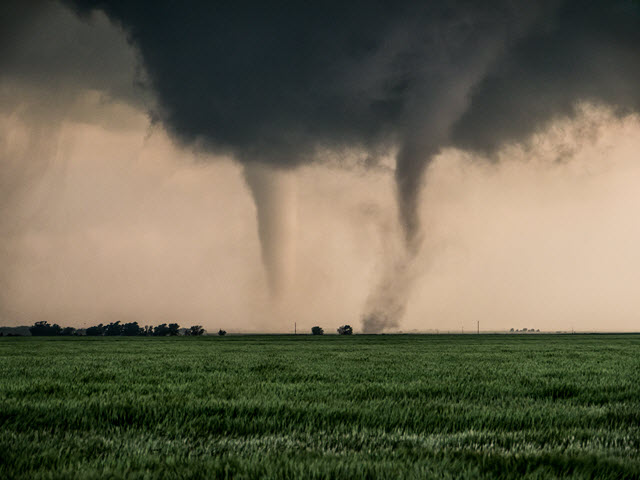
- A multiple-vortex tornado is a twister that contains multiple vortices (also referred to as sub-vortices or suction vortices) rotating around, within, and in conjunction with the principal vortex.
- Multiple vortices tend to only be visible during the initial formation phases of a tornado. They can also be visible if the twister isn’t carrying a lot of dirt and debris that would otherwise obscure the sub-vortices.
- Sub-vortices can increase the wind speed of a tornado by 100 miles per hour. They are usually to blame for cases where narrow paths of extreme devastation lie next to minor damage on a tornado’s path.
- It’s important not to confuse multi-vortex tornadoes with cyclically tornado supercells. The latter refers to the creation of separate sister tornadoes, all stemming from the same initial tornado. These can exist at the same time or very close together.
- Another related but different type of twister is the satellite tornado. It differs from the multi-vortex tornado in that it forms entirely separate from the principal tornado.
Where Are Multi-Vortex Tornados Most Likely to Form?
Multi-vortex tornadoes are most likely to form in the same regions where regular tornados most commonly occur. Most tornadoes originate in the Great Plains across the centre of the United States. This region, known as Tornado Valley, is particularly prone to tornadoes because storms frequently form when the dry, cold air coming down from Canada meets the warm, moist air coming up from the Gulf of Mexico. The resulting atmospheric instability provides the perfect set of conditions for brewing tornadoes.
While tornados can occur at any time of year and any time of day, they most often form in the spring and summer months and tend to occur most frequently in late afternoon. May to June is generally considered tornado season.
Deadly Multi-Vortex Tornadoes
The largest ever multi-vortex tornado was recorded in El Reno, Oklahoma on May 31, 2013. It happened after dozens of smaller tornadoes passed through the area. It arrived around 6:00 pm, just 8 miles southwest of El Reno, and rapidly gained size and power raging through regions of Canadian County. At this stage, it did not affect many urban structures, but mobile weather radars recorded winds of 302 miles per hour within the vortex, making it the fastest wind speeds ever known.
As it made its way across U.S. Highway 81, it had expanded to a width of nearly 3 miles. Then, as it turned towards the north east, it began to wane. After crossing Interstate 40, the tornado receded at 6:43 p.m. Fortunately, it had avoided the the most populated urban areas of Oklahoma City metropolitan area.
In total, the tornado caused eight deaths, including four storm chasers, and injured 151 more people. Storm chasers are people that follow storms for a variety of reasons, including news coverage, entertainment, or to study them.
On account of its sheer power and speed, and the notoriety of the storm chaser deaths, the El Reno tornado is one of the most infamous tornadoes in history that is often studied to this day. The National Weather Service states that the twister was “the most dangerous tornado in storm observing history.”
Thousands of Oklahoma City residents tried to flee the storm by driving away to avoid the tornado’s path. It has been claimed that this was an extremely dangerous move because if the tornado had maintained course, it would have passed over the crowded freeway and killed an estimated 500 people.
